DARPA Plans Distributed Sensor Network Over Oceans

The US Defence Advnced Reasearch Projects Agency (DARPA) Wednesday announced its Ocean of Things program, to enable situational awareness over oceans by deploying thousands of small floats that could form a distributed sensor network.
Each smart float would contain a suite of commercially available sensors to collect environmental data—such as ocean temperature, sea state, and location—as well as activity data about commercial vessels, aircraft, and even maritime mammals moving through the area.
The floats would transmit data periodically via satellite to a cloud network for storage and real-time analysis.
John Waterston, program manager in DARPA’s Strategic Technology Office (STO) said in a statement, “By coupling powerful analytical tools with commercial sensor technology, we plan to create floating sensor networks that significantly expand maritime awareness at a fraction of the cost of current approaches.”
The technical challenge for Ocean of Things lies in two key areas: float development and data analytics.
A Proposers Day is scheduled for January 4, 2018, in Arlington, Virginia, at the DARPA Conference Center.
Under float development, proposers must design an intelligent float to house a passive sensor suite that can survive in harsh maritime environments. Each float would report information from its surroundings for at least one year before safely scuttling itself in the deep ocean.
The floats will be required to be made of environmentally safe materials, pose no danger to vessels, and comply with all federal laws, regulations, and executive orders related to protection of marine life.
The data analytics portion of the Ocean of Things program will require proposers to develop cloud-based software and analytic techniques to process the floats’ reported data. This effort includes dynamic display of float locations, health, and mission performance; processing of environmental data for oceanographic and meteorological models; developing algorithms to automatically detect, track, and identify nearby vessels; and identification of new indicators of maritime activity.
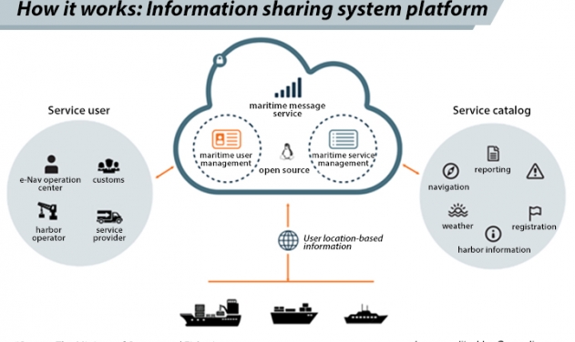
South Korea, Denmark to Test ‘Maritime Cloud’ Safety and Communication System
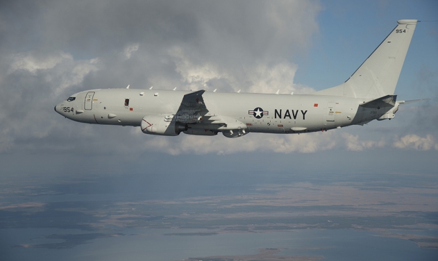
Malaysian Air Force Tech Team to Evaluate Maritime Patrol Aircraft
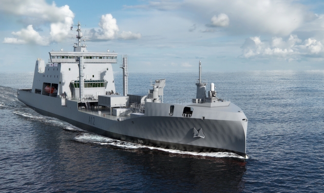
Saab Communications System To Equip NZ Navy’s New Maritime Sustainment Capability Vessel...
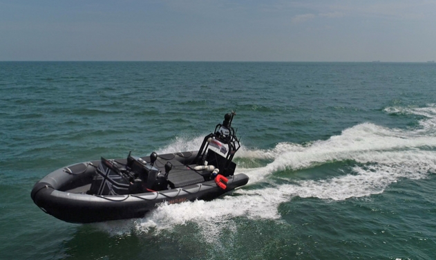
BAE Systems To launch Testing Service For UK's First Maritime Autonomous Systems

Japan to Explore Airbus’ Eurodrone as Maritime Surveillance Anti-submarine Warfare Craft
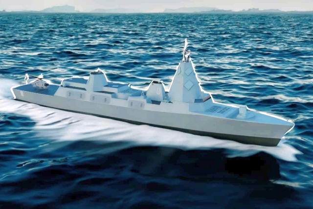
After Germany, UK Changes Warship Acquisition Plans

UK Army Unveils Challenger 3 Tank to Rival Russian Armata
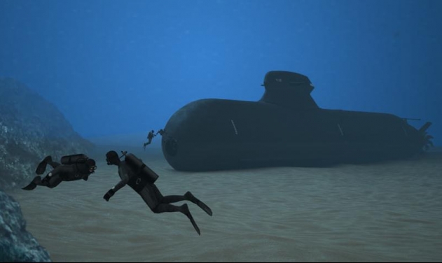
Poland to Acquire Three A26 Submarines from Saab for $4.8 Billion

One Month Since U.S., Israeli War Against Iran: Who Is Gaining?
One month after the United States and Israel launched coordinated strikes on Iran on February 28 the conflict has expanded...

Modern Tank Showdown: T-90MS, Leopard 2A7, M1E3 Abrams Compared
Main Battle Tanks (MBTs) have shown their mettle in recent conflicts such as in Ukraine despite being increasingly vulnerable to...
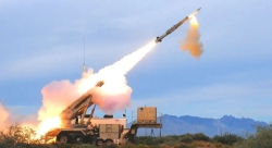
European Nations Prioritizing Europe-made IRIS-T & SAMP-T over American Patriot Air Defense Systems?
European nations looking to procure new air defense systems appear to be giving the much-vaunted American Patriot a miss in...

Russian T-90MS Crew Discuss Future Upgrades
Defense Mirror spoke with the crew members of the Russian T-90MS main battle tank, produced by UralVagonZavod

China's Mass-produced J-35A Aircraft Set to Disrupt Global Stealth Fighter Market
China is aiming to disrupt the global stealth fighter market by mass-producing its fifth-generation J-35A at a pace comparable to...

The Future of Combat: Miniaturized Laser Weapons Set to Replace Bullets and Missiles
Lasers may soon replace bullets, and drones could disable enemy UAVs with beams of light instead of missiles