
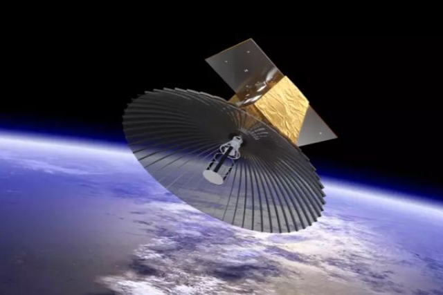
New Chinese Spy-Cam Can Spot Satellites in Orbit, Read Their Serial Numbers
Chinese scientists have achieved millimeter-level clarity from 100 km using the new laser camera

A powerful new laser camera developed in China can track foreign military satellites—and even read their serial numbers from over 100 km away.
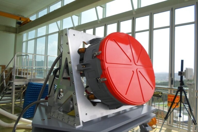
Created by the Chinese Academy of Sciences’ Aerospace Information Research Institute, the system captured millimeter-level resolution images during tests at Lake Qinghai, a breakthrough that challenges the limits of long-range surveillance, writes South China Morning Post. The device uses a synthetic aperture lidar system, combining a 103-watt laser with real-time digital processing to achieve detail 100 times finer than conventional telescopes. It can detect objects as small as 1.7 mm and measure distances with an accuracy of 15.6 mm.
Unlike traditional cameras, which rely on lenses, this system splits a laser beam across a 4x4 micro-lens array, expanding its optical aperture from 17.2 mm to 68.8 mm. Scientists also introduced chirped laser signals exceeding 10 GHz bandwidth for ultra-precise range resolution, while adaptive algorithms filtered out optical noise by a factor of 10,000—making distant images sharper than ever.
“This isn’t just about spotting a satellite—it’s about reading its serial numbers,” said a Beijing-based imaging scientist.
Seeing the Unseen—From 100 km Away
The findings, published in the Chinese Journal of Lasers, highlight how the system performed in real-world conditions. During field tests, researchers positioned the device on the northern shore of Qinghai Lake and successfully imaged reflective prism arrays 101.8 km away.
The implications are vast. China could use this technology to inspect satellites for micrometeoroid damage, identify specific sensor payloads, or even adapt it for high-resolution Earth observation. Some researchers suggest that with further improvements, it could distinguish human faces from low-Earth orbit.

This new system builds on microwave synthetic aperture radar principles but operates at optical wavelengths, delivering far sharper images than radar-based alternatives. It also outperforms past long-range imaging attempts: in 2011, U.S. defense contractor Lockheed Martin reached a 2 cm azimuth resolution from 1.6 km, while later Chinese research improved resolution to 5 cm from 6.9 km. Now, China has achieved millimeter-level clarity from 100 km.
However, challenges remain, including sensitivity to weather conditions and the difficulty of tracking moving targets with such extreme precision. Achieving such clarity at this distance was once considered impossible due to atmospheric interference.
Still, this technology marks a major shift in how satellites—and possibly even objects on Earth—can be monitored. As laser imaging capabilities continue to evolve, the ability to see distant details with unparalleled clarity is no longer science fiction—it’s here.
UK Ministry of Defence Awards £127 Million Contract to Airbus for Oberon...

Indra to Acquire Spanish Defense Satellite Operator, Hispasat

Airbus Launches SpainSat NG Satellites to Increase Spain's Communications Capacity Ten Folds

Denmark Invests $2B in Drones, Arctic Ships, Satellite for Arctic Defense

Spain, Switzerland Cancel F-35 Jet Order Over Trump's Europe Policy
Hanwha Launches First Mass-Produced AESA Radar for KF-21 Fighter

Sudanese Air Force Downs U.A.E.-Chartered Plane Carrying Colombian Mercenaries near Nyala...
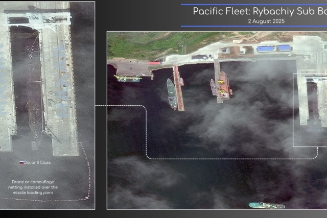
Russia Deploys Anti-Drone Nets Over Nuclear Submarine at Kamchatka Base

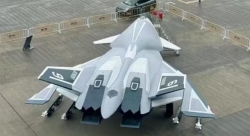
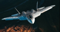
China's Mass-produced J-35A Aircraft Set to Disrupt Global Stealth Fighter Market
China is aiming to disrupt the global stealth fighter market by mass-producing its fifth-generation J-35A at a pace comparable to...

The Future of Combat: Miniaturized Laser Weapons Set to Replace Bullets and Missiles
Lasers may soon replace bullets, and drones could disable enemy UAVs with beams of light instead of missiles

Four-legged Robots Vs. Military Dogs
Four legged robots that resemble dogs are increasingly being seen in war zones and exercises for functions such as reconnaissance...

Lockheed Martin Faces Billions in F-35 Cuts Under U.S. Policy Shift
Americas policy of controlling F-35 usage, spares, and maintenance—combined with President Donald Trumps threats of trade wars with Europe, halted...
Russian Su-57 and Chinese J-20 as Alternatives to the American F-35 Stealth Fighter
As the Russian Su-57 stealth fighter jet enters serial production, the debate over how it stacks up against the American...