
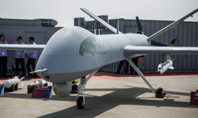
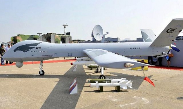
China Deploys Wing Loong Drone for First Typhoon Warning Reconnaissance
Indigenous UAV gathers critical early warning data, maps disaster zones, restores communications during Typhoon Wipha in southern China

China has used its domestically developed Wing Loong unmanned aerial vehicle (UAV) for typhoon reconnaissance for the first time, according to its developer, the Aviation Industry Corporation of China (AVIC).
The fixed-wing drone carried out pre-typhoon surveillance and post-typhoon damage assessment as Typhoon Wipha impacted southern China this week. The aircraft reportedly flew through extreme conditions—strong winds, heavy rain, and low visibility—to gather early warning data and identify disaster zones across western Guangdong.
AVIC said the UAV's synthetic aperture radar allowed it to capture real-time images despite thick clouds and rain, transmitting the data directly to the provincial emergency command center. The information helped authorities assess risks, plan flood control measures, and coordinate rescue operations.
Flying along the typhoon's path, the drone detected rising river levels, submerged roads, and flooded agricultural areas. Its airborne base station also reestablished public communication in affected zones by sending over 6,000 text messages, creating what AVIC described as an “aerial lifeline” for isolated communities.
Wing Loong has previously been used in disaster relief operations during earthquakes and severe rainstorms, but this marks its first use for typhoon early warning and assessment.
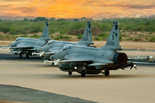
Pakistani JF-17s, Wing Loong Drones Bomb “Terrorist” Targets in Iran
China Deploys Wing Loong 2H Drone to Create Artificial Rain
Amidst Tehran-Riyadh Peace Deal, Saudi Wing Loong Drone Shot Down over Yemen
China’s Heavily-armed Wing Loong 3 UAV with Intercontinental Range to make its...
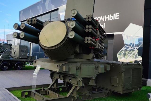
Russia Deploys New Pantsir-SMD Missile Systems

Poland Seals Major K2 Tank Deal with South Korea, Local Assembly to...

Russia Used Jet-Powered Geran UAV in Deadliest Attack on Kyiv Killing 32,
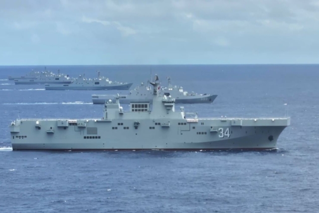
Fourth Chinese Type 075 Amphibious Assault Ship Joins Navy

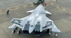
China's Mass-produced J-35A Aircraft Set to Disrupt Global Stealth Fighter Market
China is aiming to disrupt the global stealth fighter market by mass-producing its fifth-generation J-35A at a pace comparable to...

The Future of Combat: Miniaturized Laser Weapons Set to Replace Bullets and Missiles
Lasers may soon replace bullets, and drones could disable enemy UAVs with beams of light instead of missiles

Four-legged Robots Vs. Military Dogs
Four legged robots that resemble dogs are increasingly being seen in war zones and exercises for functions such as reconnaissance...
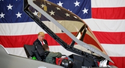
Lockheed Martin Faces Billions in F-35 Cuts Under U.S. Policy Shift
Americas policy of controlling F-35 usage, spares, and maintenance—combined with President Donald Trumps threats of trade wars with Europe, halted...
Russian Su-57 and Chinese J-20 as Alternatives to the American F-35 Stealth Fighter
As the Russian Su-57 stealth fighter jet enters serial production, the debate over how it stacks up against the American...