DARPA Eyes Cloud-based Repository to Harness Geospatial Imagery for Defense Analyses
")
DARPA seeks to create scalable cloud-based repository of global satellite data accessible via common interfaces, and pilot development of analytics-as-a-service for DoD users.
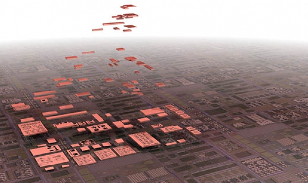
The rapid pace of new commercial satellite constellation launches has led to a significant increase in the amount and availability of geospatial imagery. Unfortunately, no straightforward way currently exists for analysts to access and analyze all of that imagery. The current ad hoc, time-intensive approach requires gathering and curating data from a large number of available sources, downloading it to specific locations, and running it through separate suites of analytics tools.
To help overcome these challenges, DARPA’s new Geospatial Cloud Analytics (GCA) program seeks to enable instant access to the most up-to-date images anywhere in the world, as well as cutting-edge tools to analyze them, DARPA said in a statement Wednesday.
It would achieve this capability by virtually aggregating vast amounts of commercial and open-source satellite data that is available in multiple modes—optical, synthetic aperture radar (SAR), and radio frequency (RF)—in a common cloud-based repository with automated curation tools. The platform and tools would provide DoD geospatial analysts global situational awareness, event detection, monitoring, and tracking capabilities beneficial to U.S. forces around the world.
In addition to developing a scalable geospatial data platform with tools and a user interface, GCA aims to create analytical applications that would allow analysts at the operational and tactical level to draw specific information from the aggregated data. GCA will pilot an analytical services business model where commercial entities offer analytics services and apps via a competitive marketplace.
“The goal of GCA is to provide a secure cloud-based platform that automatically curates multi-source global data and metadata, allowing analysts to focus their attention and expertise on analysis—not data collection, aggregation, and curation,” said Joe Evans, program manager in DARPA’s Strategic Technology Office (STO). “The vision is for commercial analytics providers to use the common data platform to develop and offer their services in an analytics marketplace. This marketplace framework would allow the DoD to more cost-effectively leverage constantly refreshed, robust commercial analytics services.”
To test the utility of the cloud-based platform and apps in the analytics marketplace, the GCA program will look at problems at a variety of time scales. These include predicting food shortages in a region of the world (weeks to months), locating the construction of oil fracking sites (days to weeks), illegal fishing detection (minutes to days), and an open-call scenario where proposers may suggest other problems of military relevance.
DARPA Demos New Cloud-Penetrating Radar Sensor
DARPA Issues RFI To Produce Modular, Affordable Anti-Drone Technologies
Logos Wins Second Phase SBIR Contract from DARPA to Work on Hybrid-electric...
DARPA Aims To Build Microelectronic Systems With Modular ‘Chiplets’

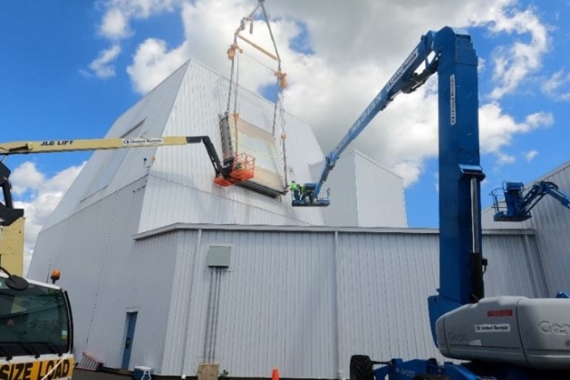
Denmark to Set Up New Warship Building Facility at Frederikshavn
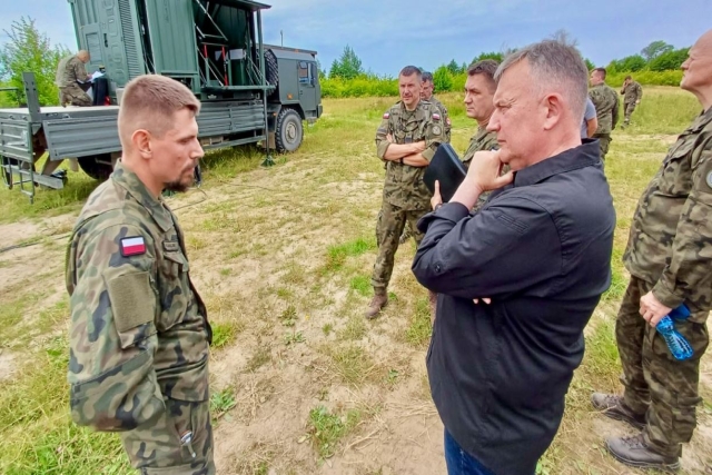
Poland Conducts Anti-Drone Trials Days after Russian Strike Hits Polish Aid Truck
Lockheed Martin Delivers First SPY-7 Radar Shipset for Japan’s Aegis Vessels
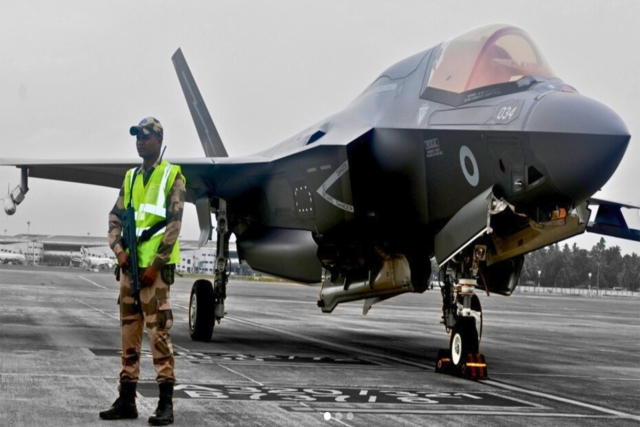
U.K. Engineers Arrive in India to Revive Stranded Royal Navy F-35B...

The Future of Combat: Miniaturized Laser Weapons Set to Replace Bullets and Missiles
Lasers may soon replace bullets, and drones could disable enemy UAVs with beams of light instead of missiles
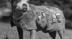
Four-legged Robots Vs. Military Dogs
Four legged robots that resemble dogs are increasingly being seen in war zones and exercises for functions such as reconnaissance...
Lockheed Martin Faces Billions in F-35 Cuts Under U.S. Policy Shift
Americas policy of controlling F-35 usage, spares, and maintenance—combined with President Donald Trumps threats of trade wars with Europe, halted...
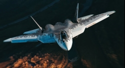
Russian Su-57 and Chinese J-20 as Alternatives to the American F-35 Stealth Fighter
As the Russian Su-57 stealth fighter jet enters serial production, the debate over how it stacks up against the American...