Iran’s First Military Satellite Beams images of US Bases in Middle East
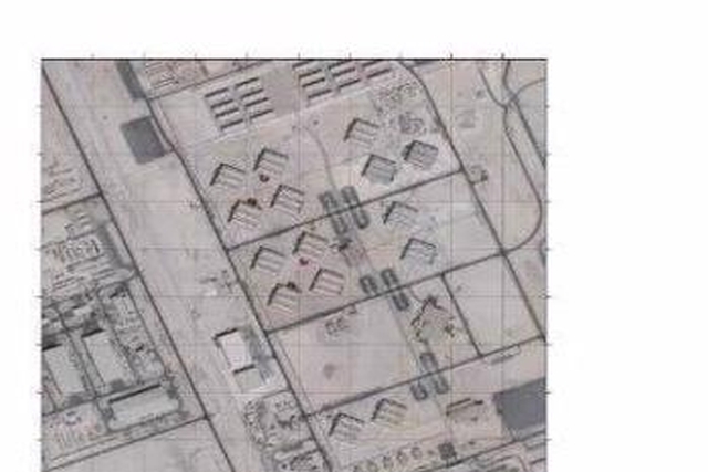
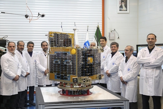
Iran’s Nour (Light)-1 military satellite has relayed image of the United States’ biggest airbase in West Asia in its first attempt at imaging from the space since launch in April this year.
The Aerospace Division of Iran’s Islamic Revolution Guards Corps (IRGC) that launched and controls the satellite, provided an image of the al-Udeid Airbase in Qatar that the space bird had taken using the “mosaic imaging” method, Fars News Agency reported on Wednesday.
The image covers the full expanse of the airbase that reportedly houses as many as 13,000 “terrorist US forces and answers to the terrorist US Central Command (CENTCOM),” Fars News said.
The IRGC said the image was taken as Nour-1 was monitoring large-scale drills by the Corps, codenamed Payambar-e A’zam (The Great Prophet) 14 earlier this week.
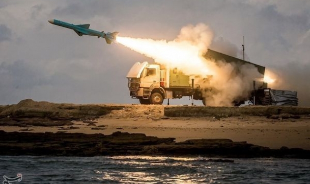
During the maneuvers that spanned the general area of Hormozgan Province, west of the strategic Hormuz Strait, and the Persian Gulf, the Corps staged “all-out and multi-layer” strikes against the life-size replica of a Nimitz-class US aircraft carrier.
The IRGC destroyed the mock carrier using missiles and bombs. State television aired footage showing damage caused to the mock aircraft carrier, and the IRGC commandos’ rappelling onto the vessel from helicopters.
On Tuesday, CNN reported that following the launch of ballistic missiles by the Corps during the drills, al-Udeid and al-Dhafra, another airbase in the United Arab Emirates, were temporarily put on “high alert” and the American forces deployed there were asked to stay in bunkers.
