
Russia Unveils New Satellite-Free Navigation System for Aircraft
Rosel’s upgraded Doppler-based system ready for serial production amid rising risks of signal jamming and cyber threats
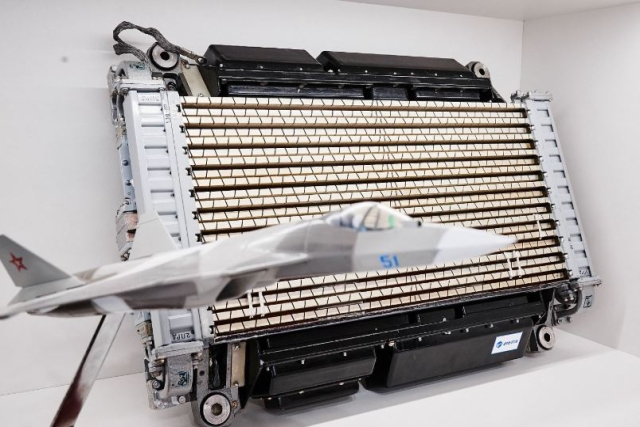
Russia’s Rostec State Corporation, through its Rosel holding, has introduced new satellite-free navigation equipment designed for use in aircraft, helicopters, and drones.
The device enables precise navigation in regions with unreliable satellite coverage and in environments where communication signals are deliberately disrupted.
The upgraded system, based on a Doppler speed and drift angle meter, has passed flight tests and is now ready for serial production. According to Rosel, the product incorporates multiple improvements over previous models. These include a fourfold reduction in power consumption, significantly reduced weight and size, and enhanced reading accuracy through digital processing.
Rosel noted that the equipment is intended as an autonomous backup system for the navigation of most aircraft types. It is capable of operating in remote regions such as the Arctic, where satellite signals may be intermittently unavailable. The system is also suited for operations in contested environments where GPS spoofing, jamming, or cyber threats are present.
“Work on upgrading DISS started in 2020. An additional incentive to accelerate R&D was the government subsidy in 2021. All flight tests have been successfully completed to date. Production contracting has begun,” the company said in a statement.
The product’s software is entirely Russian-made and is compatible with all onboard avionics systems. The key components are produced by enterprises under the Rosel umbrella. Doppler meters developed by Rosel have been widely used since the 1960s on aircraft models by Tupolev, Sukhoi, Yakovlev, Ilyushin, and helicopters by Mil and Kamov.
Rosel emphasized that the new navigation system outperforms both Russian and foreign counterparts in key technical parameters.
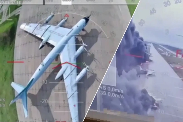
Russia Confirms Aircraft Damaged in Ukraine’s June 1 Drone Attack Will Be...
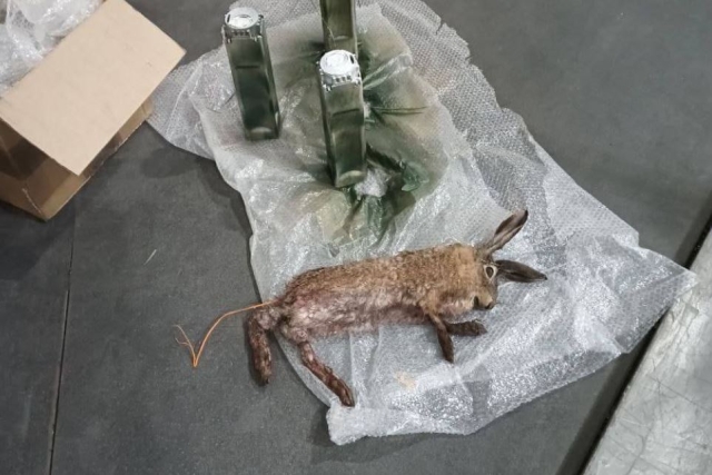
Russia Booby Traps Animal Carcasses to Use as Mines
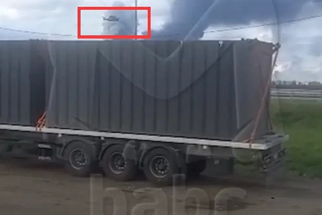
How $500 Drones Obliterated $50 million Russian Strategic Bombers
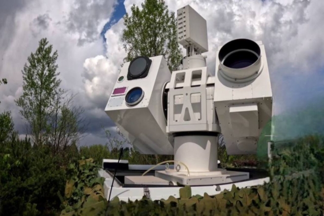
Russian Forces Receive Chinese Laser-powered Air Defense System
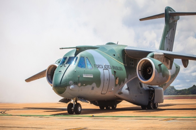
Portugal Orders Sixth KC-390 Aircraft Contract
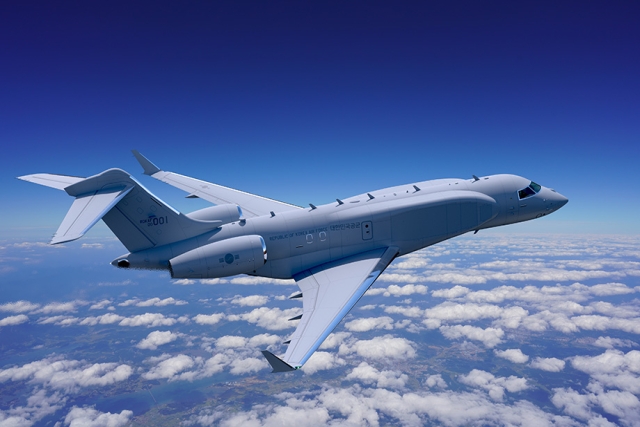
Korea Aerospace Unveils Design of New Electronic Warfare Aircraft
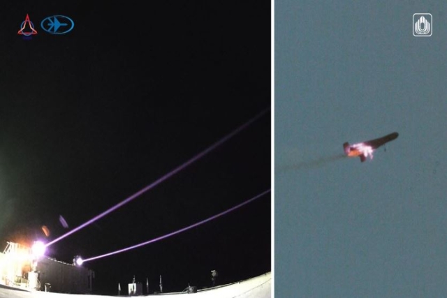
Israel Completes Iron Beam Laser Weapon Development, IDF Delivery Imminent
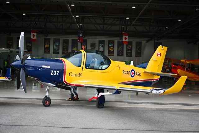
Canada Receives First CT-102B Astra II Training Aircraft

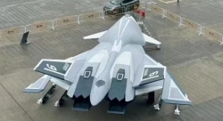
China's Mass-produced J-35A Aircraft Set to Disrupt Global Stealth Fighter Market
China is aiming to disrupt the global stealth fighter market by mass-producing its fifth-generation J-35A at a pace comparable to...
The Future of Combat: Miniaturized Laser Weapons Set to Replace Bullets and Missiles
Lasers may soon replace bullets, and drones could disable enemy UAVs with beams of light instead of missiles
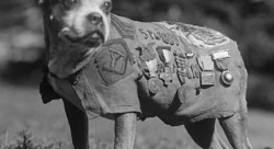
Four-legged Robots Vs. Military Dogs
Four legged robots that resemble dogs are increasingly being seen in war zones and exercises for functions such as reconnaissance...
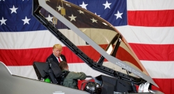
Lockheed Martin Faces Billions in F-35 Cuts Under U.S. Policy Shift
Americas policy of controlling F-35 usage, spares, and maintenance—combined with President Donald Trumps threats of trade wars with Europe, halted...
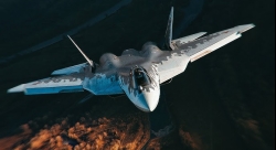
Russian Su-57 and Chinese J-20 as Alternatives to the American F-35 Stealth Fighter
As the Russian Su-57 stealth fighter jet enters serial production, the debate over how it stacks up against the American...